(SIGNIFICANT SUMMITS)
A LazyMap of the Marilyns of
Lowland Britain
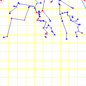
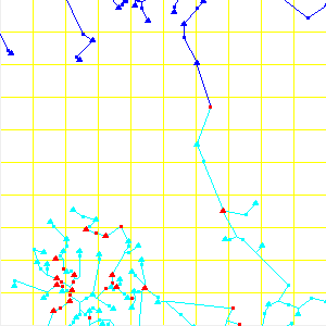
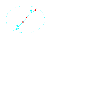
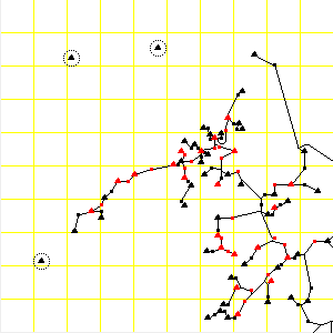
The main diagram,
below, is a lazymap of the lowlands of
Britain designed to show only the relationship of the summits and cols
of the Relative Hills of [Lowland] Britain, as per
Dawson's Relative Hills of
Britain
-- that is the southern three quarters of Britain, which contain only a
third of the British Marilyns that Dawson lists.
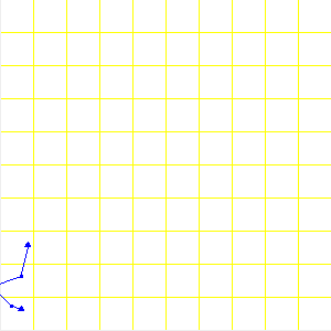
The underlying grid is the National Grid of the Ordnance Survey
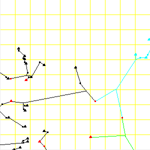
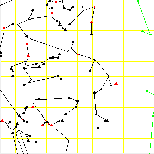
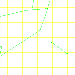
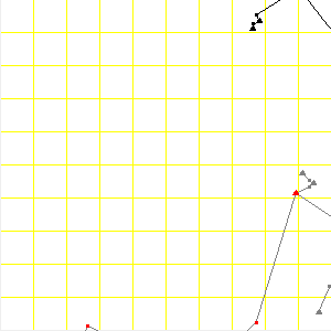
(Great Britain), and the overall map is only a collage of the silver
grid squares -- the name of each image file corresponds to the
respective OS 100km grid square, e.g. SH.png covers all and only
the OS(GB) National Grid square with reference SH. The
same 100km grid is the one shown on the smaller map of The Isles,
below right.
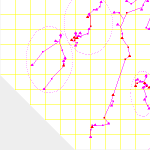
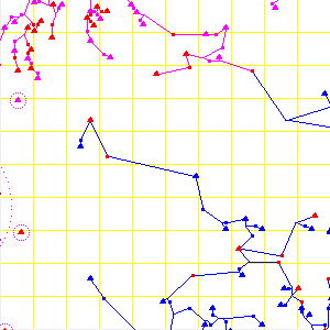
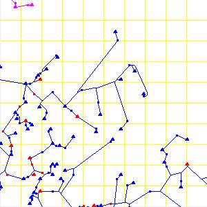
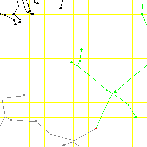
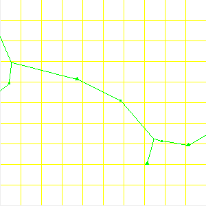
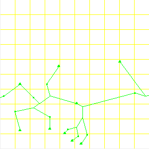
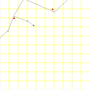
The only other contents of the map are:
- a triangle representing each Marilyn summit, i.e. each hill with
a relative height or prominence of 150m -- a metric rounding-off
from the imperial 500ft = 152.4m ;
- a small square representing the lowest intervening col between
each pair of summits linked along the watershed ;
- the triplepoints where the interconnecting ridges of the above
meet ;
- and straight-line approximations of those ridges linking all the
above as appropriate.
Of course, in reality any given ridge might instead zigzag wildly or
follow an exaggerated arc -- the point of these ridges is not their
precise journey, but where they begin and end.
A dotted boundary is drawn to indicate where off-shore Marilyns
exist, and that they are not shown floating separately from the main
body (or perhaps we should call it a skeleton) in error. The dots
should not be taken to indicate the size or shape of the
island. Islands with no Marilyns are absent from the map.
All summits with a relative height of 300m or more, and the lowest
col between each, are shown in
red. All other summits, cols,
and all `ridges' are colour-coded according to regional groups.
These regions, [as indicated on the map of The Isles to the right]
![[IMAGE: Significant Summits regions map]](images/isles_zones.png) are defined such that each boundary col is the lowest col between the
highest (and most prominent) summits of any two regions (not
necessarily the pair that this col links / separates). All
summits linked by contiguous ridges on the same side of those boundary
cols are members of the same region, as are islands that were similarly
linked when the tide was out far enough, i.e. during or `soon' after the
last ice-age and presumably will be again come the next one!
are defined such that each boundary col is the lowest col between the
highest (and most prominent) summits of any two regions (not
necessarily the pair that this col links / separates). All
summits linked by contiguous ridges on the same side of those boundary
cols are members of the same region, as are islands that were similarly
linked when the tide was out far enough, i.e. during or `soon' after the
last ice-age and presumably will be again come the next one!
Tables of the most prominent summits in each of these regions (and
the other regions not shown on the lazymap) are linked from the
Significant Summits home page. The
regions shown here may be broadly defined as follows:
(Note: I have also put up an annotated lazymap of just
Greater Cambria, labelling the most
prominent summits and their respective cols.)
Just to the north of where the lazymap ends, the Scottish Highlands
are so densely packed with Marilyns that to attempt to display them,
their cols, and connecting ridges on this scale would be futile --
viz 295 Marilyns and 302 cols in the NN gridsquare,
(Dawson). In any event my
personal research on the Highlands is generally restricted to hills of
400m prominence or more.
The silvered-out areas correspond [roughly] to where other grid
systems take priority -- notably the Irish Grid to the west, by which
all the Irish peaks in the relevant tables are referenced.
(top)
(Significant Summits)
(mail)
© Alun Fisher 2003
![[IMAGE: Significant Summits regions map]](images/isles_zones.png) are defined such that each boundary col is the lowest col between the
highest (and most prominent) summits of any two regions (not
necessarily the pair that this col links / separates). All
summits linked by contiguous ridges on the same side of those boundary
cols are members of the same region, as are islands that were similarly
linked when the tide was out far enough, i.e. during or `soon' after the
last ice-age and presumably will be again come the next one!
are defined such that each boundary col is the lowest col between the
highest (and most prominent) summits of any two regions (not
necessarily the pair that this col links / separates). All
summits linked by contiguous ridges on the same side of those boundary
cols are members of the same region, as are islands that were similarly
linked when the tide was out far enough, i.e. during or `soon' after the
last ice-age and presumably will be again come the next one!