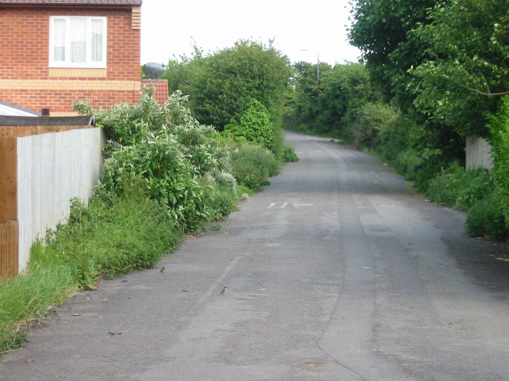
I took these photos on the afternoon of Sunday 25th May 2003, I have roughly sorted them into the order you would see them travelling from Weston-Super-Mare towards Wells (south-west bound), but this isn't rigorous.
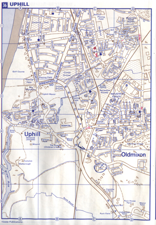
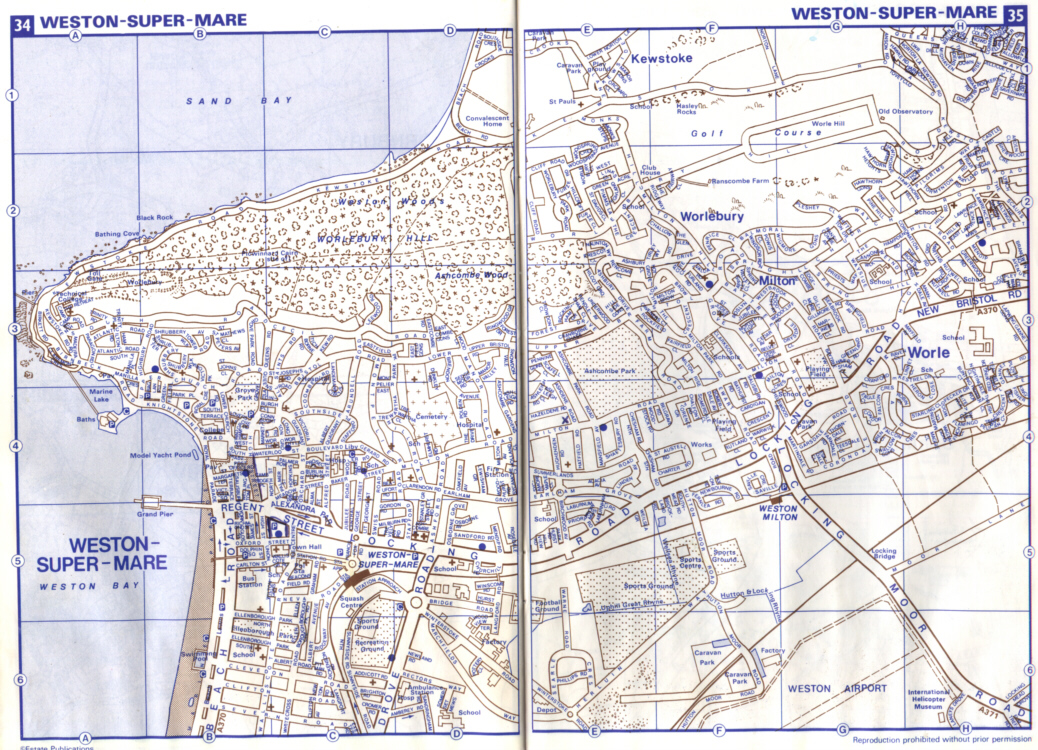
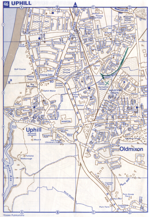
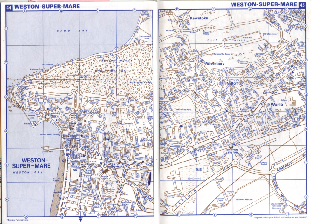
I have scanned in the Weston-Super-Mare and Uphill pages of the pre-1994 Avon Red Book and the post-1994 Somerset Red Book, which show the changes in the road layout of the town. Pre-1994 Uphill, Pre-1994 Weston-Super-Mare, Post-1994 Uphill, Post-1994 Weston-Super-Mare.
Click the thumbnails to see a bigger image (will load in a new window).
 |
 |
 |
 |
| This is the junction of the former routes of the A370 and A371, where all traffic to and from Bristol, the M5, Weston-Super-Mare, Locking, Cheddar, Wells and all the other villages on the route from Wincanton met. The first image is looking towards the M5, the second is looking towards town |
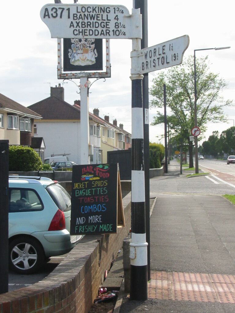
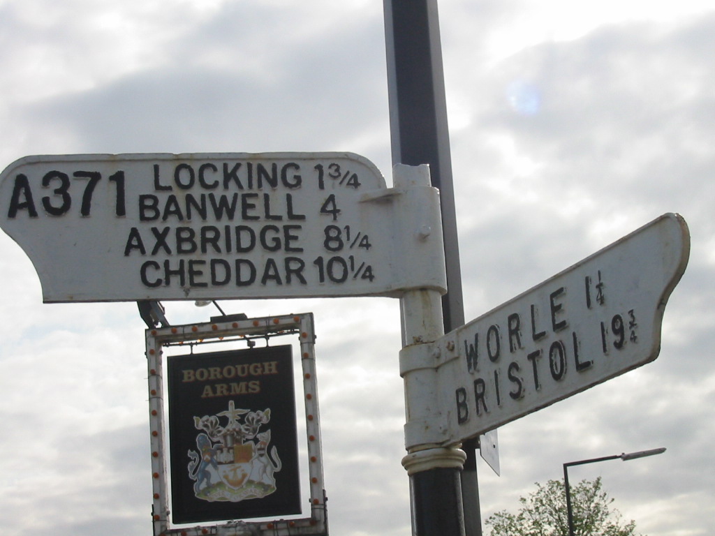
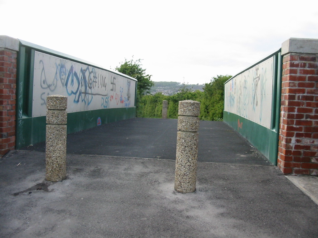
The finger post that stands on the corner and marks the original start of the A371, with a closeup of the directions |
 |
 |
 |
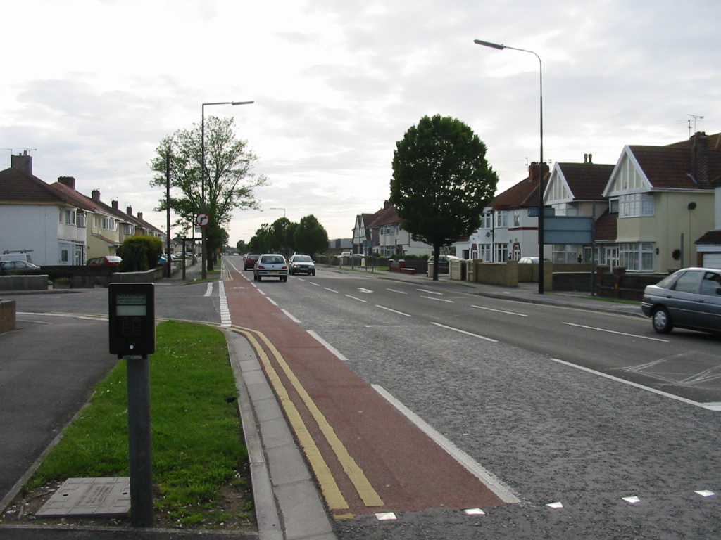
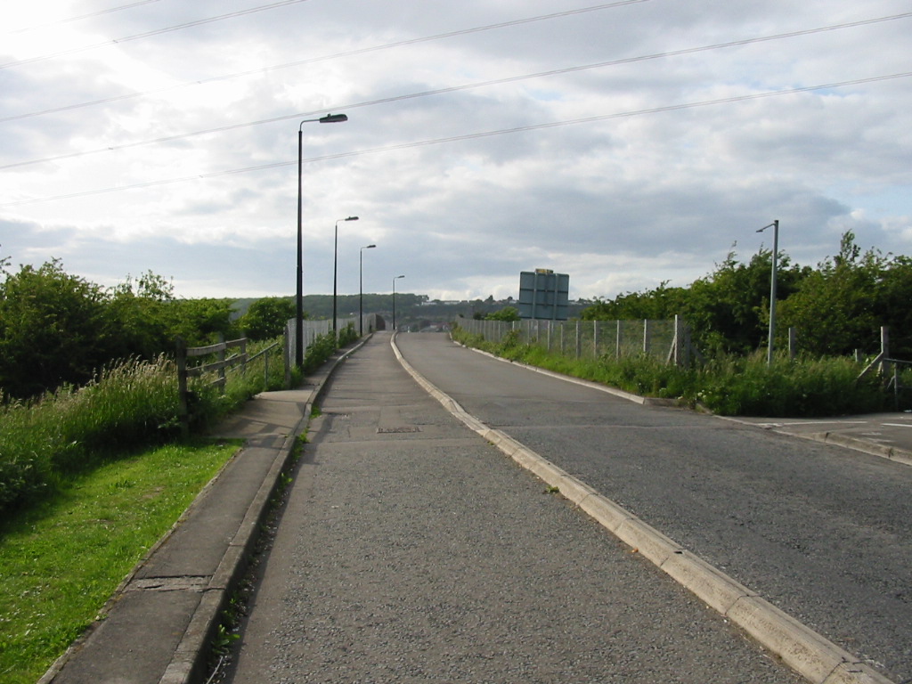
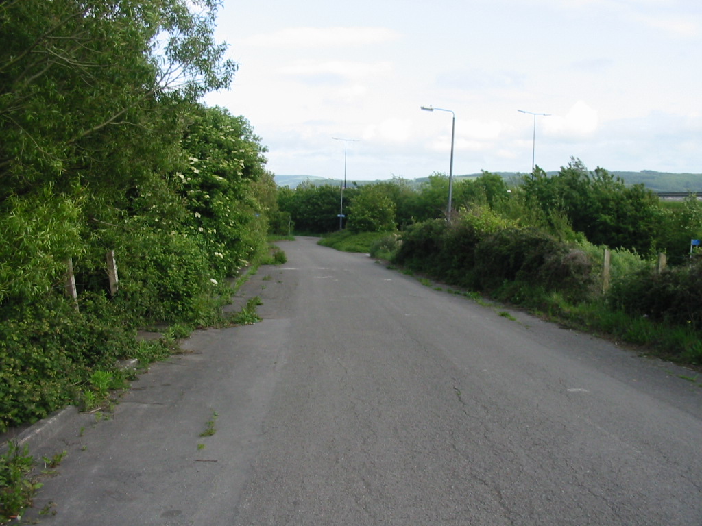
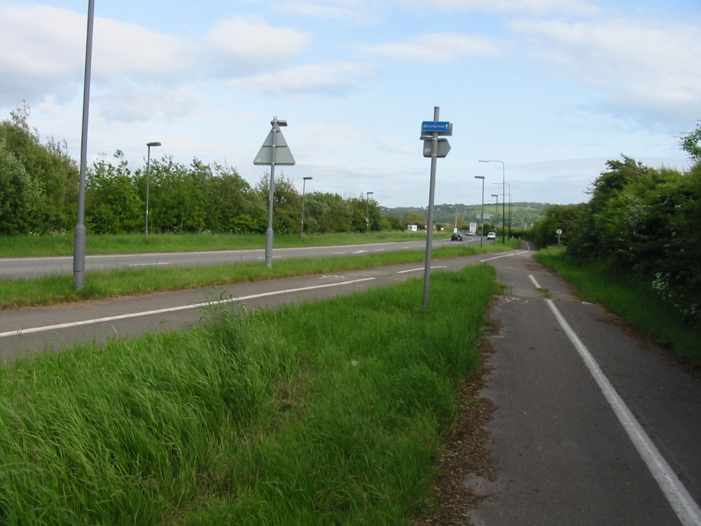
| North of Weston Milton station the road is still two-way. Now a very quiet stretch of road, this used to be a primary route. |
Approaching Weston-Milton bridge from the north. The kerb divides the one-way (in this direction) road from the contraflow cycleway and pavement. |
A close up of the sign seen on the left of the previous picture. This sign is incorrect as the second bridge is now for pedestrians and cyclists only. |
 |
 |
| The view southbound after the bridge. The first sign is completely wrong - this is no longer a primary route. When it was primary, the roundabout and road to the right had not been built. This is also no longer the A371, nor has the road to the right ever been. |
Looking northbound back where we have come from. Remove the centre kerb and add lots of traffic and this gives a good impression of what the road used to be like. |
 |
 |
 |
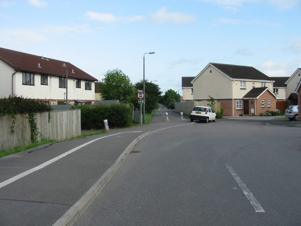
| The southbound approach to the Locking Castle roundabout. The development here, including the roundabout, is newer than bypass of the Locking Bridge, with the original road having no junctions between the bridges. The sign here is correct (unlike the preceding one).
| The northbound exit of the roundabout is closed off, suggesting that Weston Milton brdige was made one-way after the roundabout was built. The people on the far side of the roundabout are walking on the original road (now cycle track), which can be seen climbing to Locking Bridge in the distance |
Looking northbound from the far side of the roundabout. Remember this used to be a busy two-way main road and you can see how much nicer it is now. |
 |
 |
 |
 |
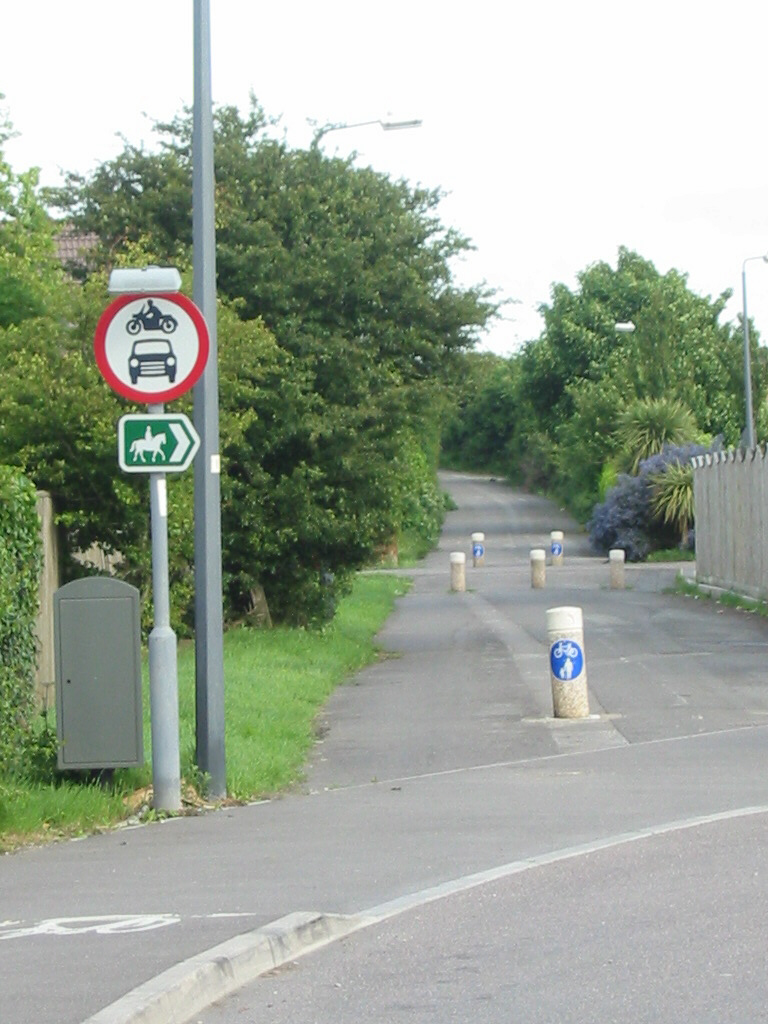
| Looking southbound after the roundabout, this bit of the road is now part of the Locking Castle housing estate |
The old road carries straight on, now downgraded to a cycle track |
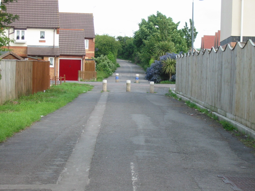
Apart from the bollards and new houses, the road is largely the same as it was when it was the main road |
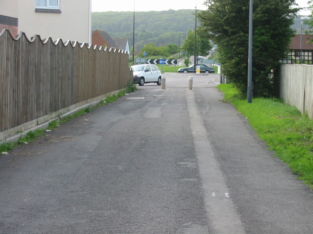
Looking northbound from the same location as the previous photo. Weston-Milton Bridge is visible on the far side of the roundabout |
 |
 |
 |
 |
| Only the house on the left, and slight encroachment of vegetation from the left, indicate that this isn't the view of an exceptionally quiet time on a main road |
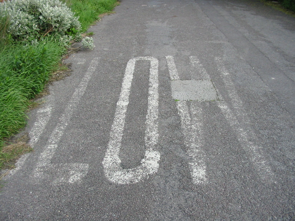
SLOW carriageway markings still survive here |
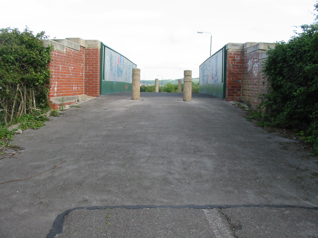
The bridge parapet can be seen for the first time here - but imagine two lanes of traffic! |
The bridge was traffic-light controled and although the lights themselves are long gone, part of the STOP line still survives |
 |
 |
 |
 |
| The view you would have seen when waiting at the traffic lights on a southbound journey |
The narrow and blind summit of the bridge, viewed from the south, illustrating the need for the traffic lights |
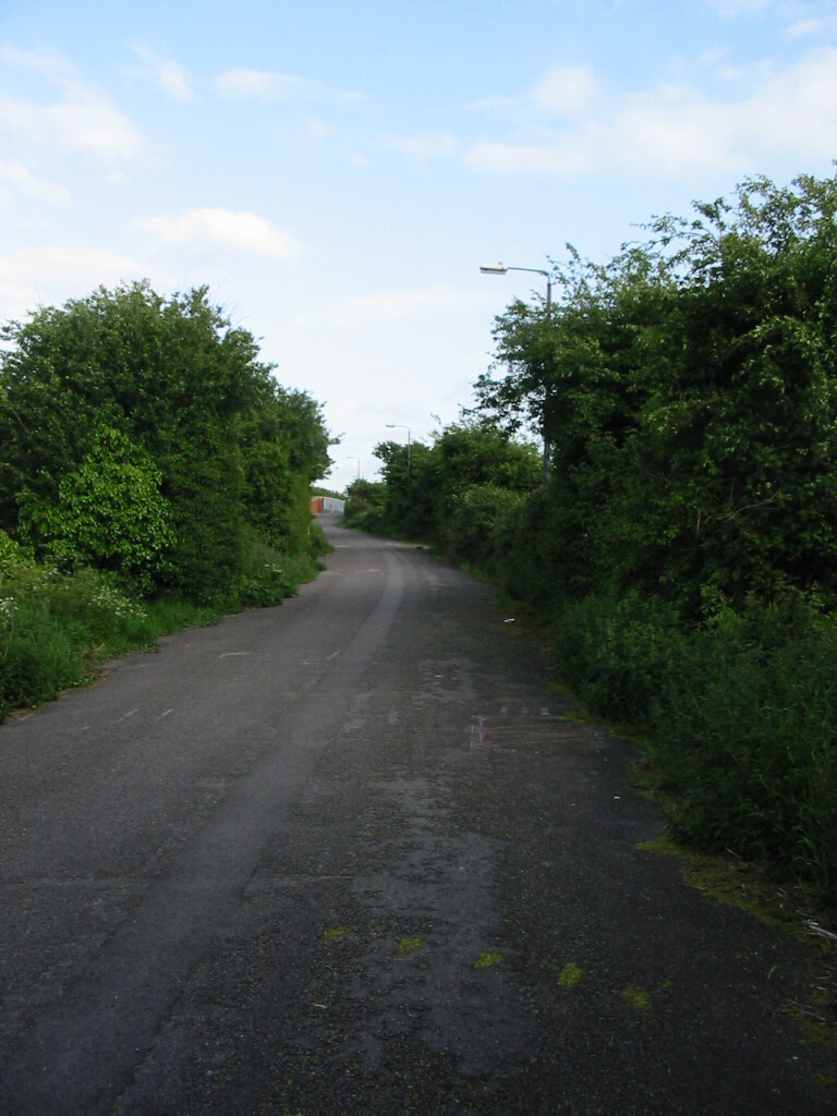
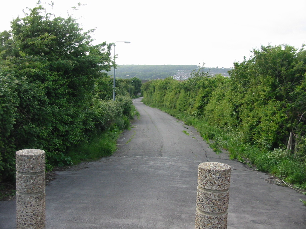
The northbound view from the top of the bridge. This view has changed little since the road was in use |
The southbound view from the top of the bridge. The new road can be seen in the middle distance on the right |
 |
 |
| Looking northbound accross the span of the bridge - the complementing view to the southbound view in the previous row |
Looking northbound back up to the bridge. The STOP line for the traffic lights and lane markings can just be made out |
 |
 |
 |
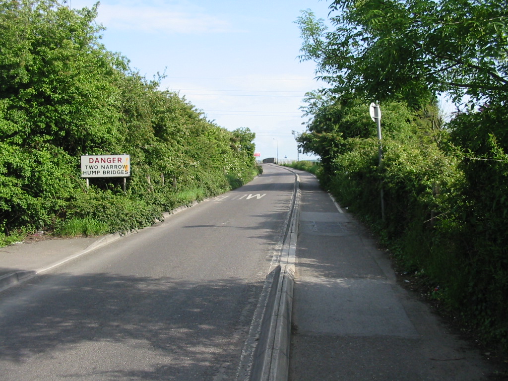
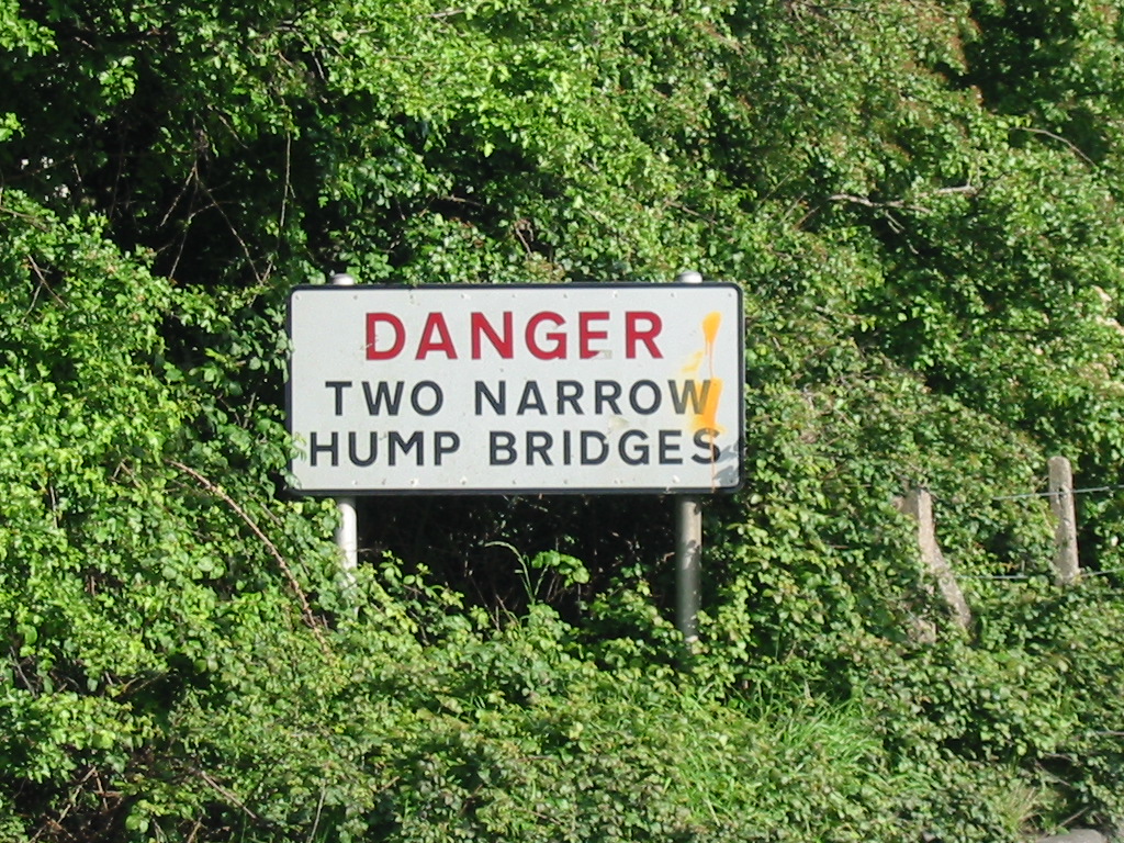
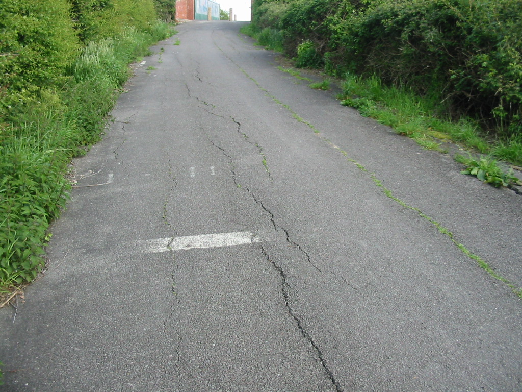
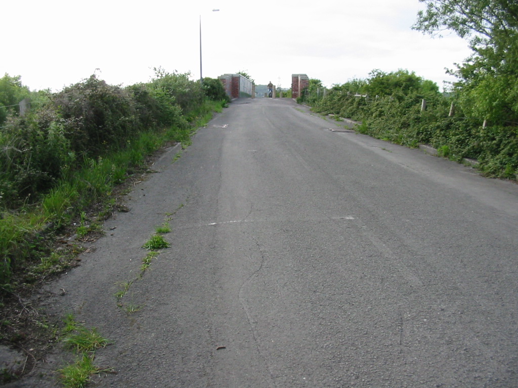
Three southbound views of the road south of the bridge. The road here was never more than a country lane.
The third image is the junction of the old Locking Moor Road and the old Moor Lane, both now cycle tracks. The verge has been widend to make the junction safer, presumably after the road became prohibited to motor traffic. The fence line and vegetation gap along the line of the pavement show the original alignment.
|
 |
 |
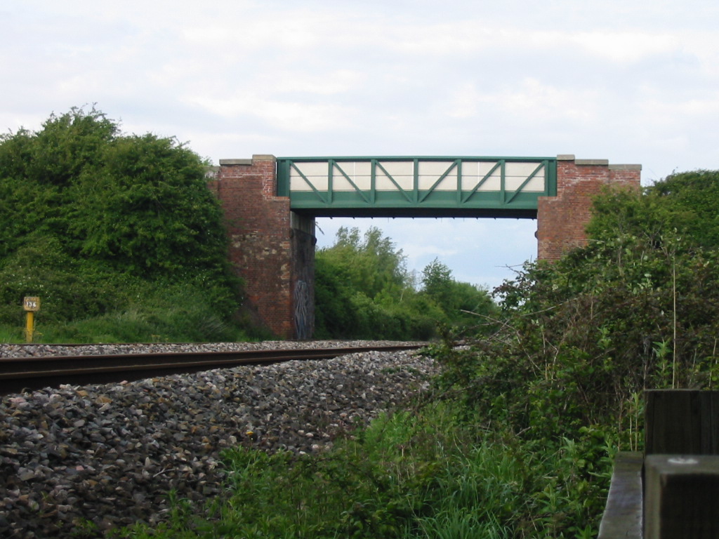
| The original Locking Bridge, which we have just travelled over, and the new bridge which now carries the traffic over the mainline railway. |
 |
 |
 |
| Looking southbound along what is now the access road to the airfield, this was the original alignment of the A371 Locking Moor Road. |
This is where the alignments diverge. The cycle track on the extreme right is the original route, which was bypassed early, presumably as part of the Locking bypass, with the wider parallel road shown on the pre-1994 map. The road on the left is the modern, curving alignment which appears to have removed all traces of the bypass. The centre tarmac is yet another cycle track |
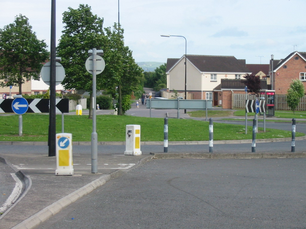
The junction of the original Locking Moor Road with the present one. |
 |
 |
 |
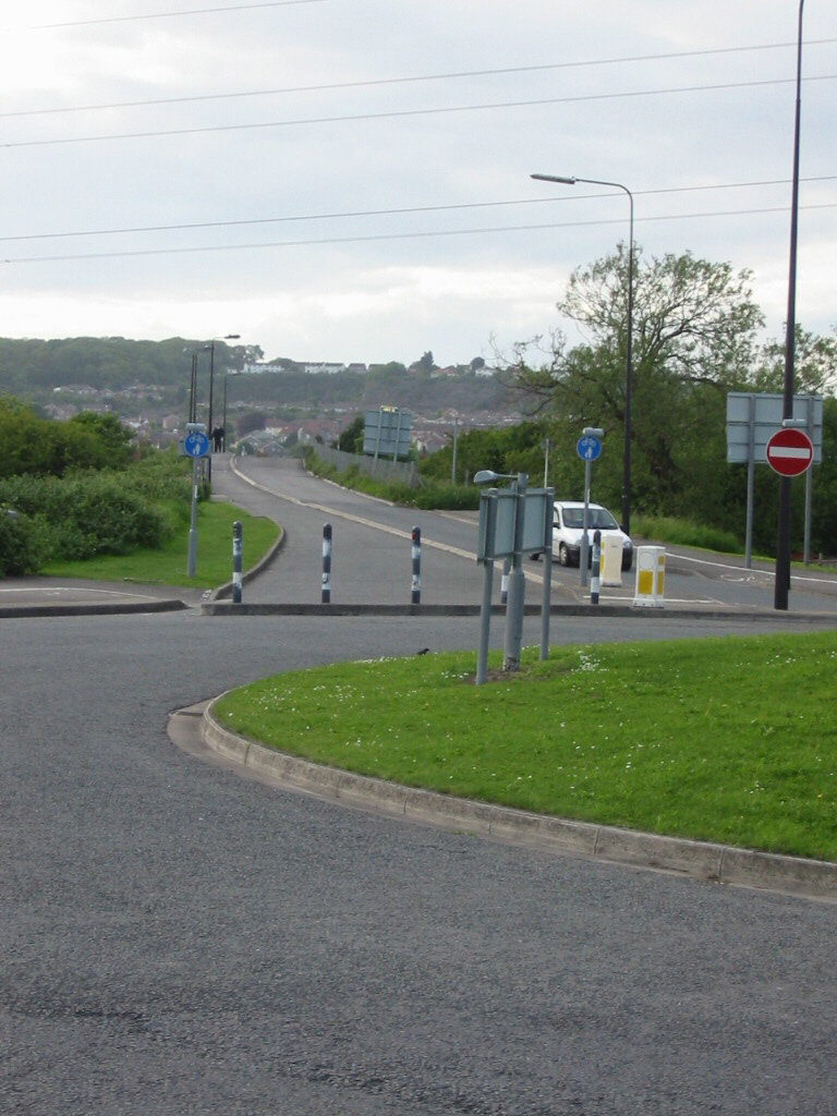
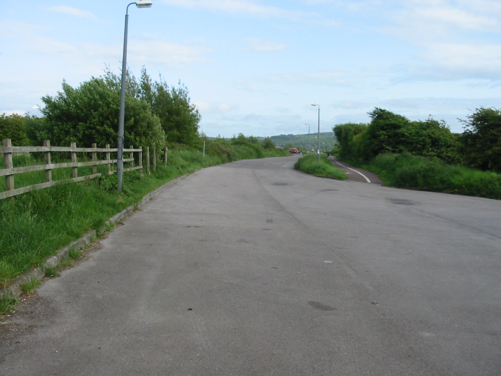
| Looking northbound on the current A371 Locking Moor Road. Note the original route on the extreme left, and the very wide grass verge to the left of the road inidcating the road formerly went straight on here. |
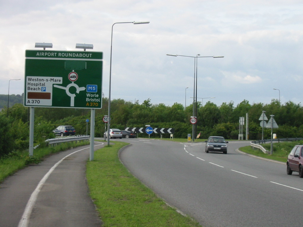
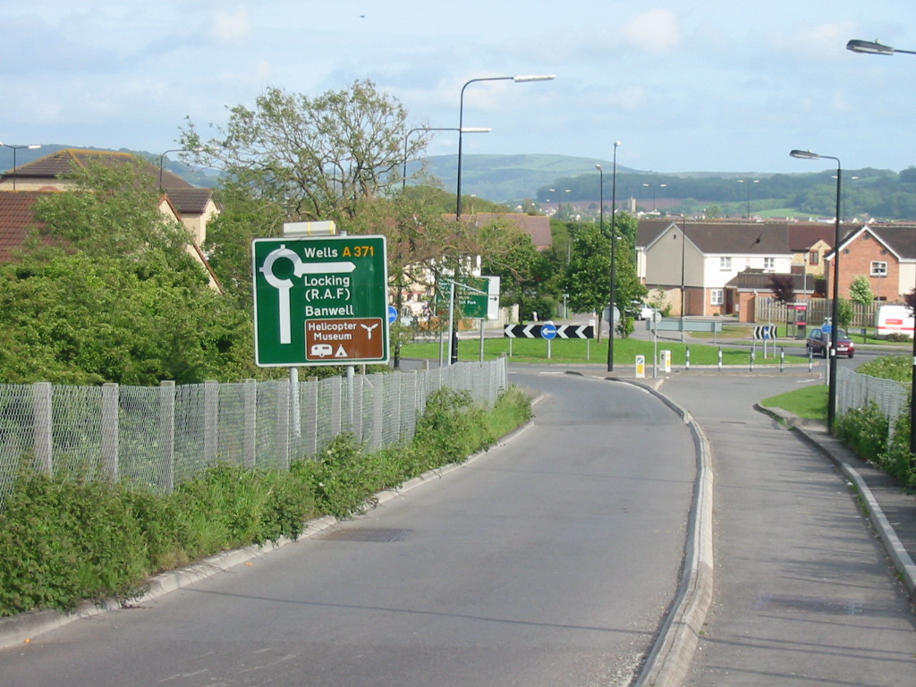
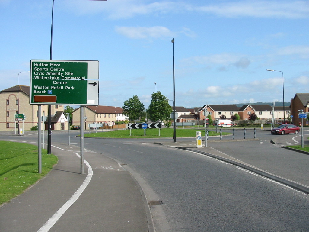
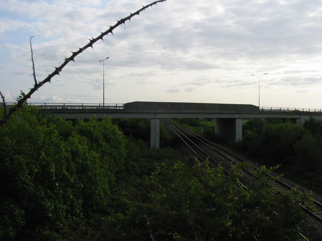
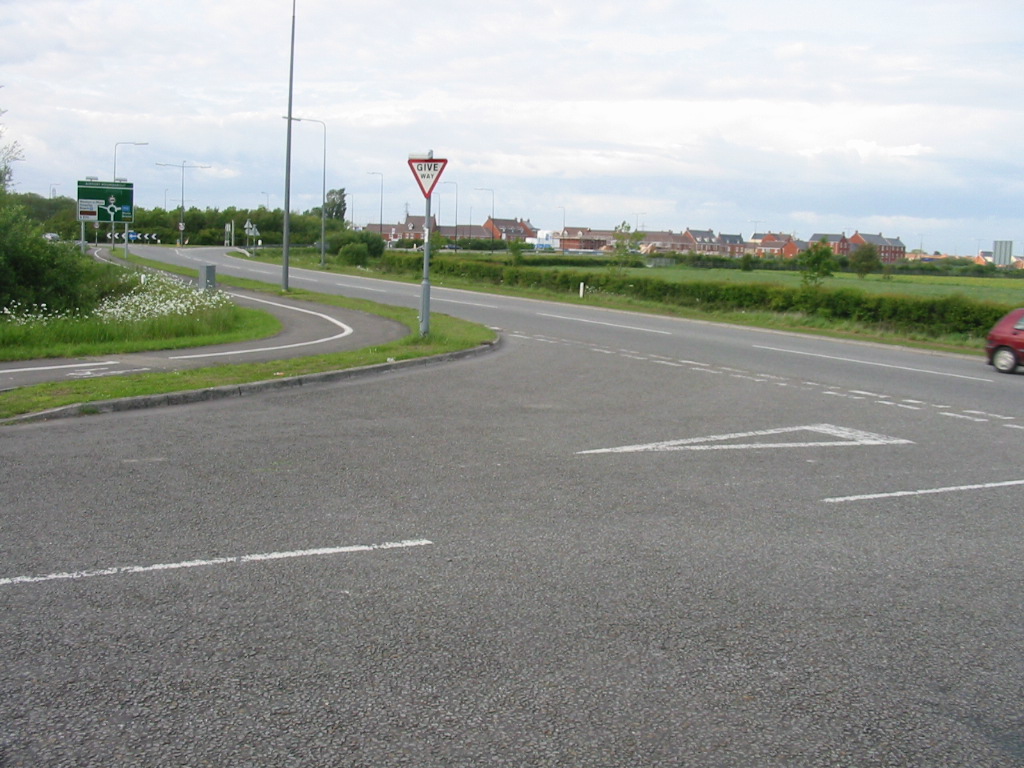
The northbound approach to the very large Airport Roundabout that since about 1994 has been the northern terminus of the A371. It is interesting to note that although the start of the A371 is now about ¼ mile south of its former location, it is still the junction with the A370 which marks the end of the route, as the latter also moved at the same time. |
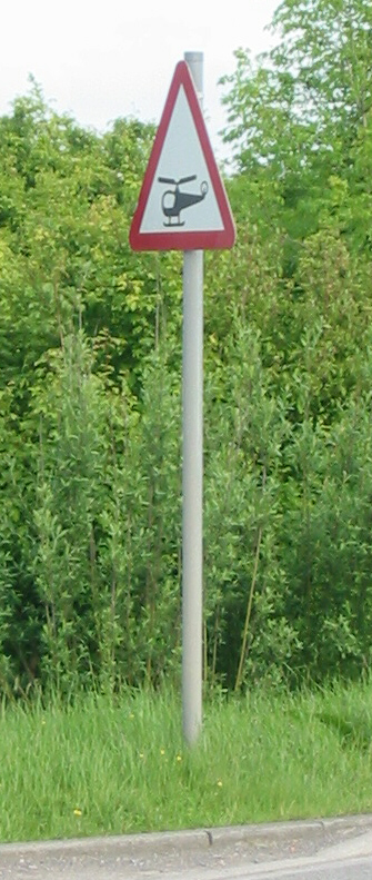
The final picture in this gallery is of this unusual sign. Warning of low-flying helicopters it is located on the present A371 Locking Road just before it passes the Helicopter Museum. |


